Map
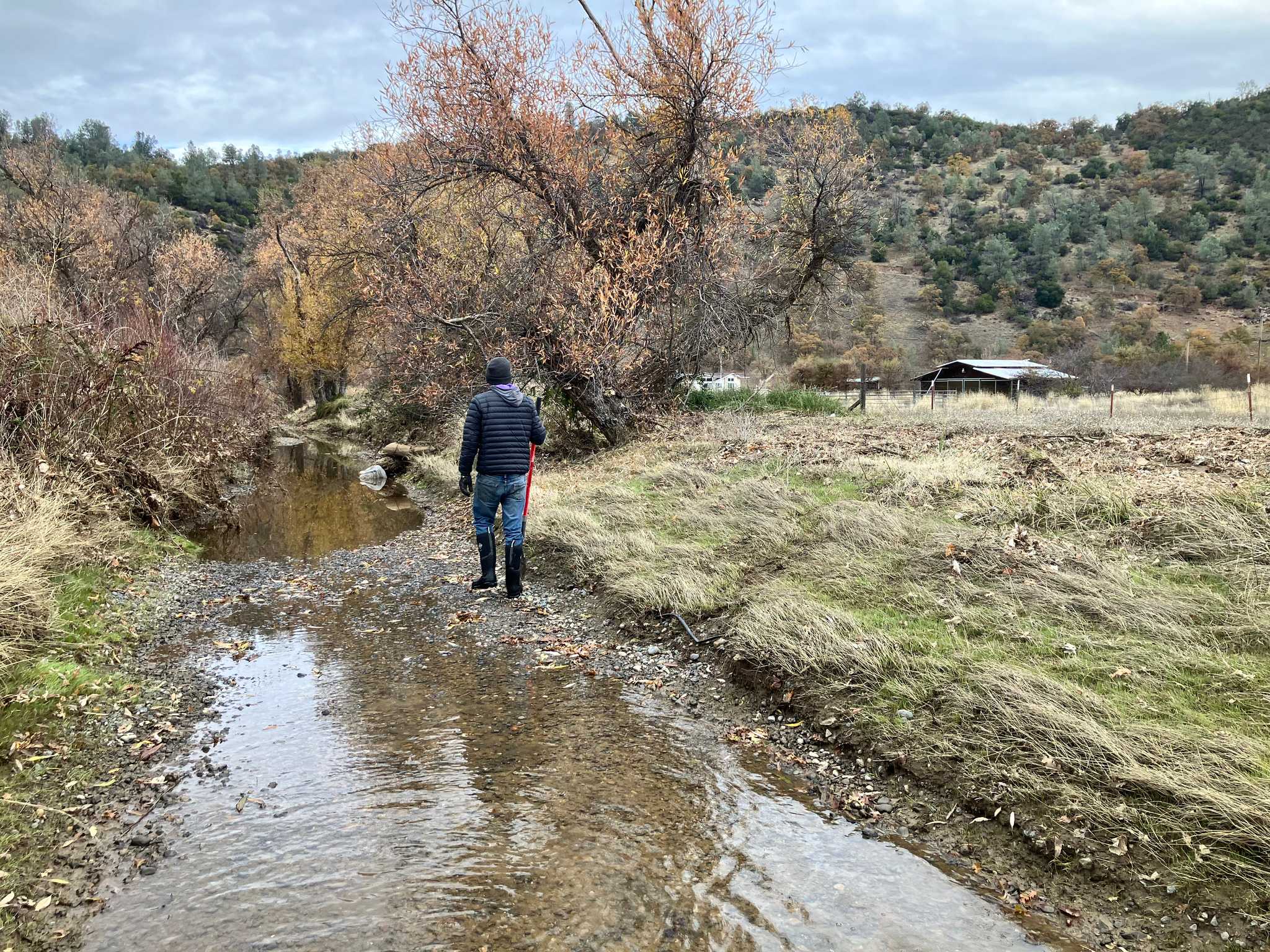
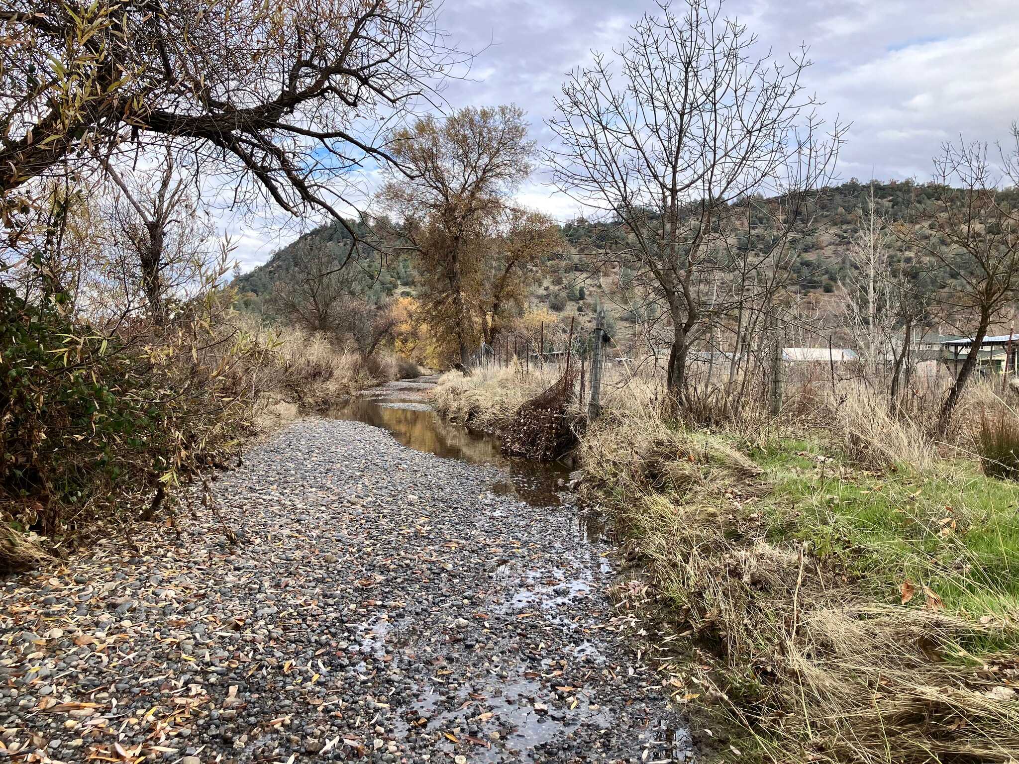
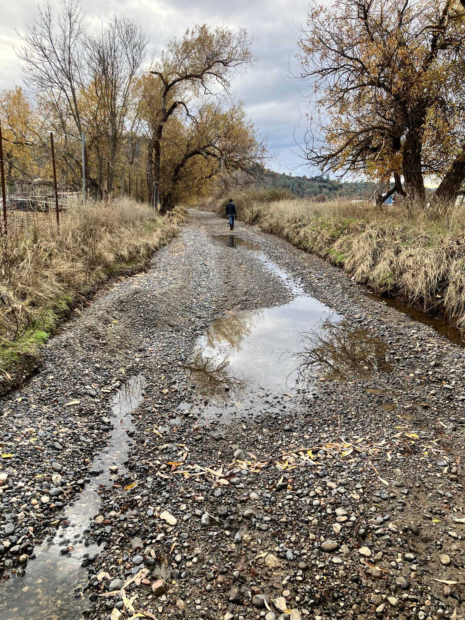
Cole Creek Blockage
View on mapClark Drive Bridge
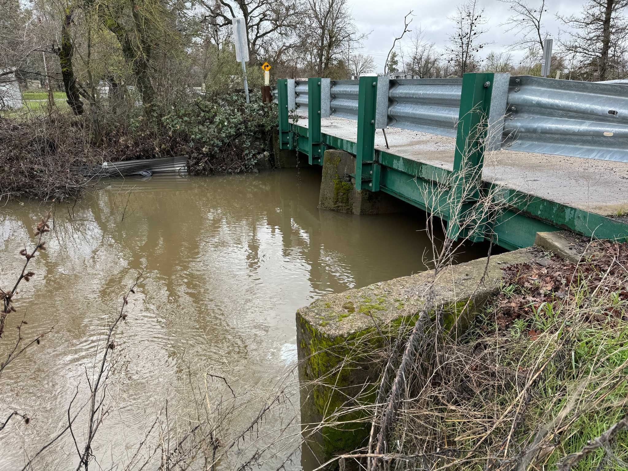
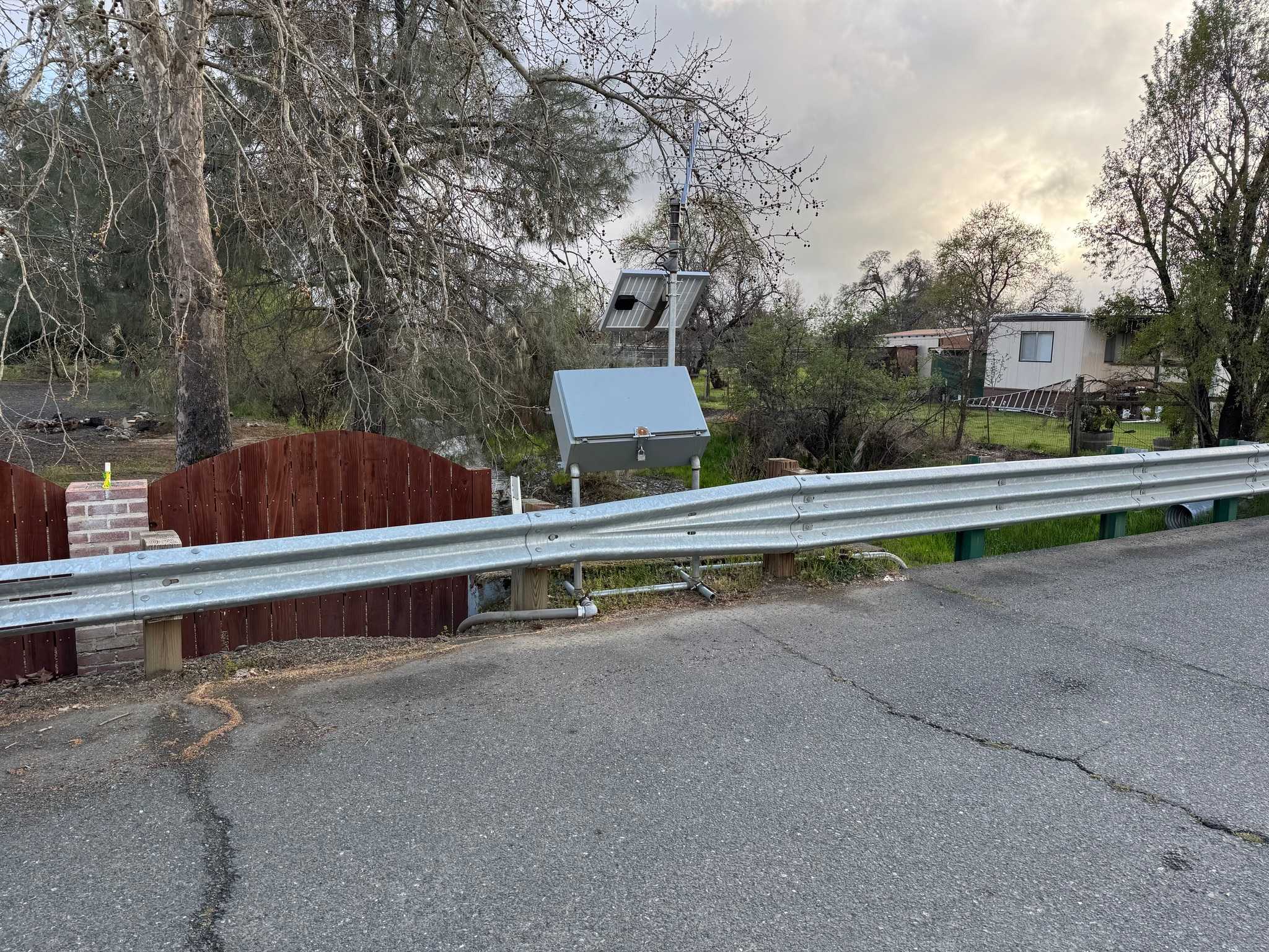
View on mapThe Clark Drive Bridge over Cole Creek was replaced in 2013 due to the previous bridge being structurally deficient and functionally obsolete.
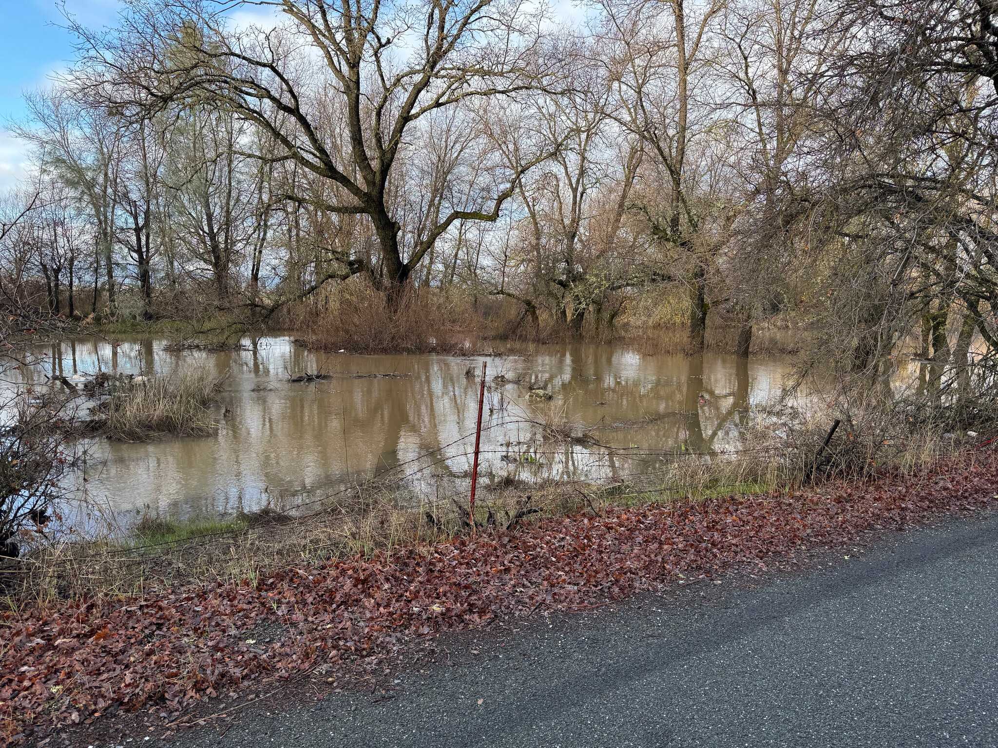
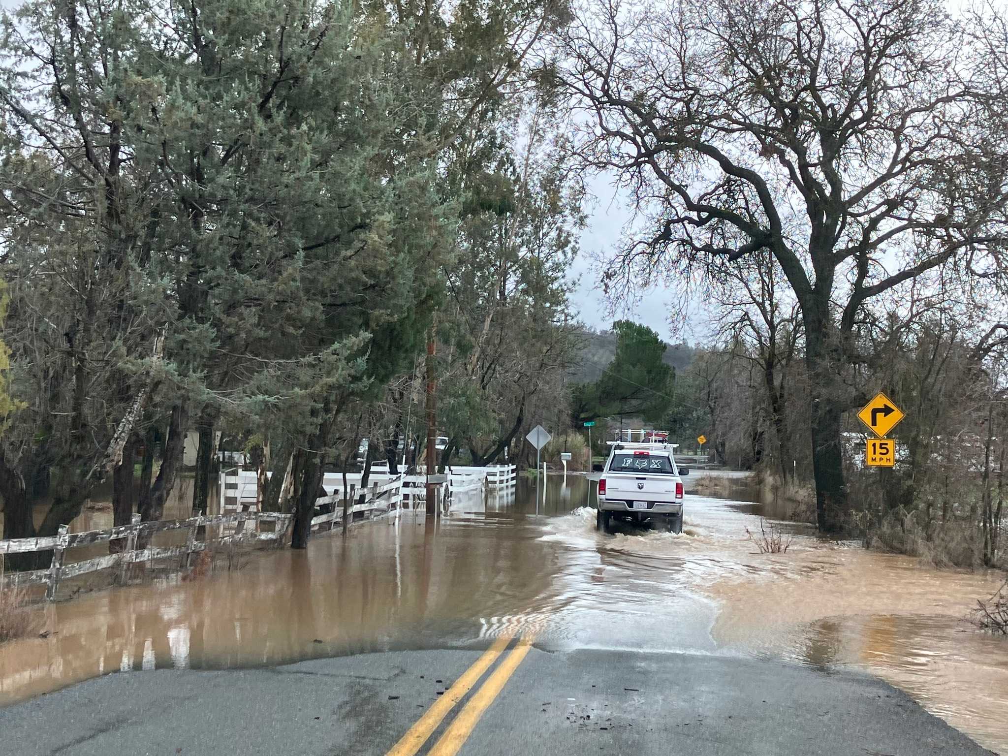
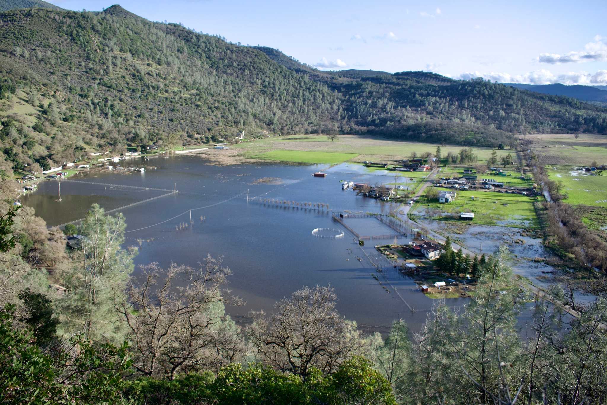
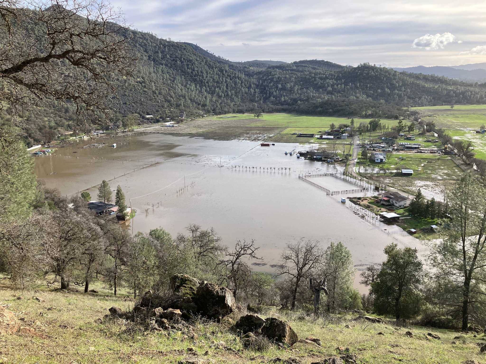
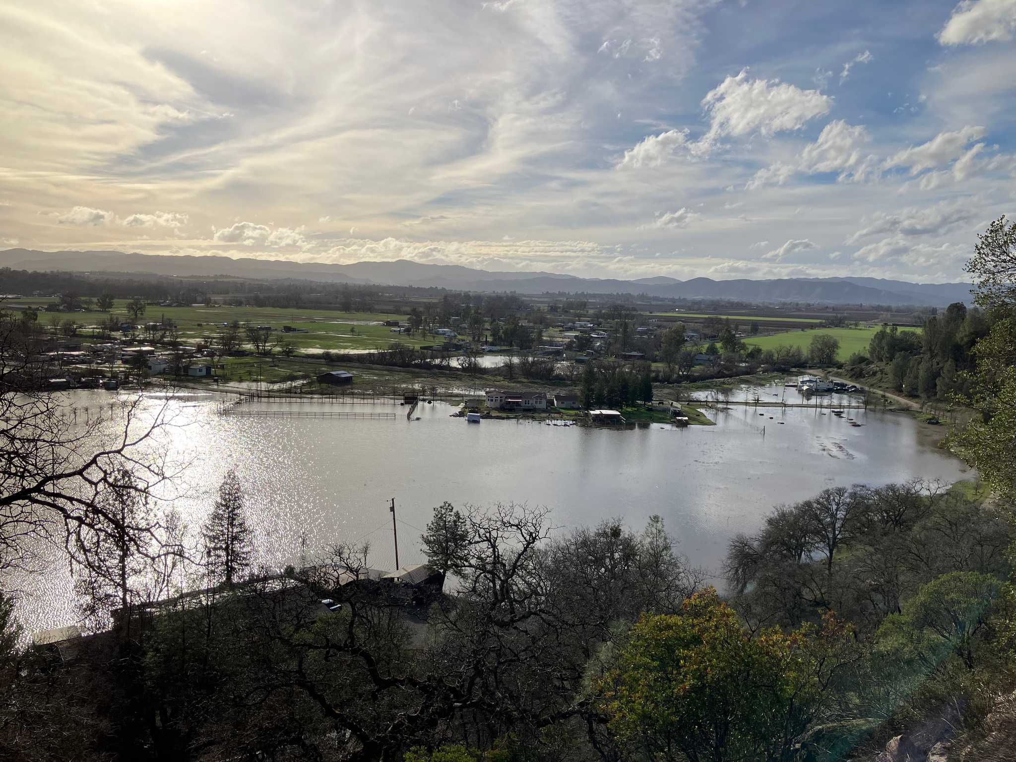
The water way under the bridge is fairly narrow and sediment has built up over the years. This has caused the water to back up and flood Clark Drive and the adjacent private properties during heavy rain events.
External references
Green Acres Culvert
View on mapA culvert that is supposed to let water out from Green Acres into Cole Creek.
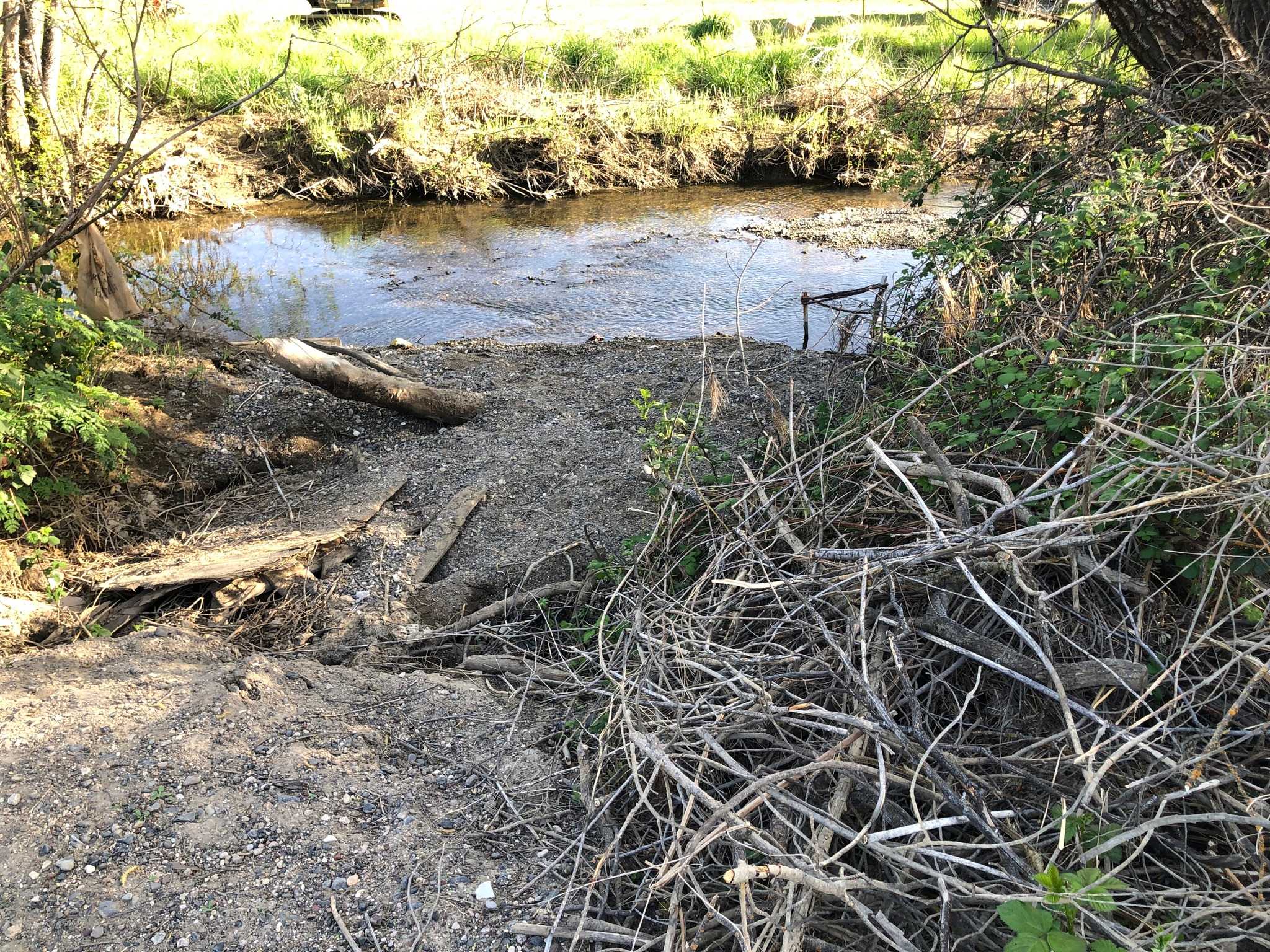
The culvert has a "flap" on the creek side that is intended to let water out from Green Acres into the creek but not let water in when the creek is higher. However, due to sediment build up, the flap is not functioning properly and water is not able to flow out as intended. It has to be dug out after every storm to allow water to drain. Fish are able to swim through the flap and into Green Acres.
Over the years, the culvert has collapsed which further restricts water flow rate. The culvert is also too small for the amount of water that needs to flow through it.
Cole Creek Overflow
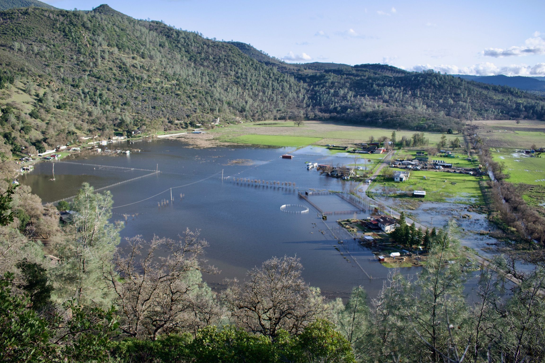
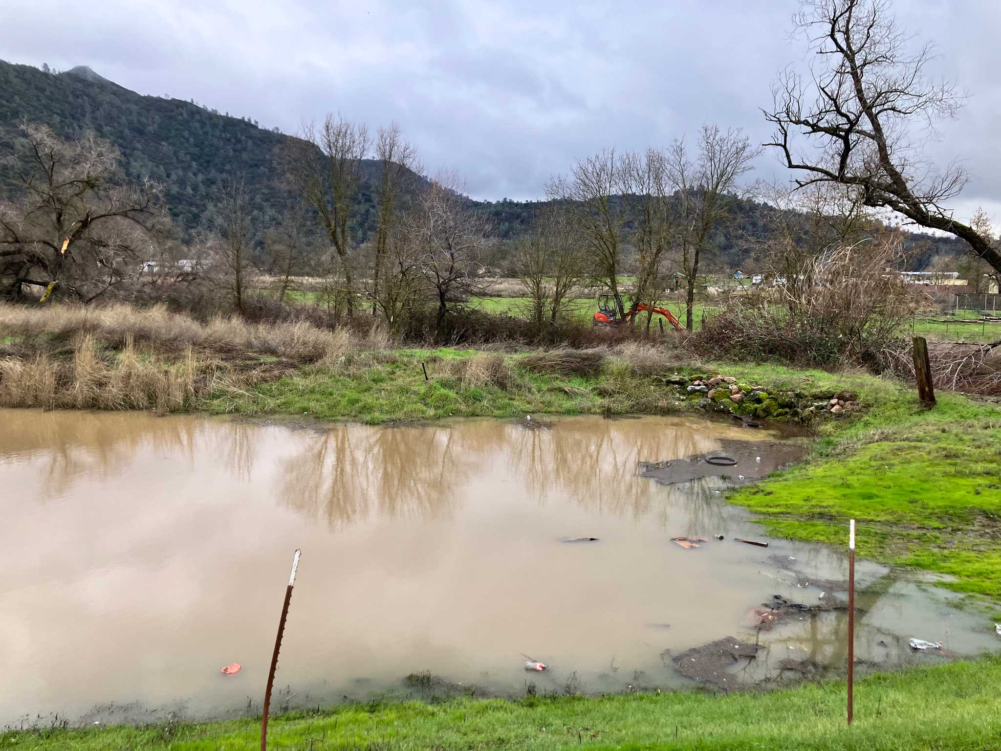
View on mapAn area where water that breached the creek gets accumulated. The water stays in this area for months after the rain stops. This area is also a breeding ground for mosquitoes.
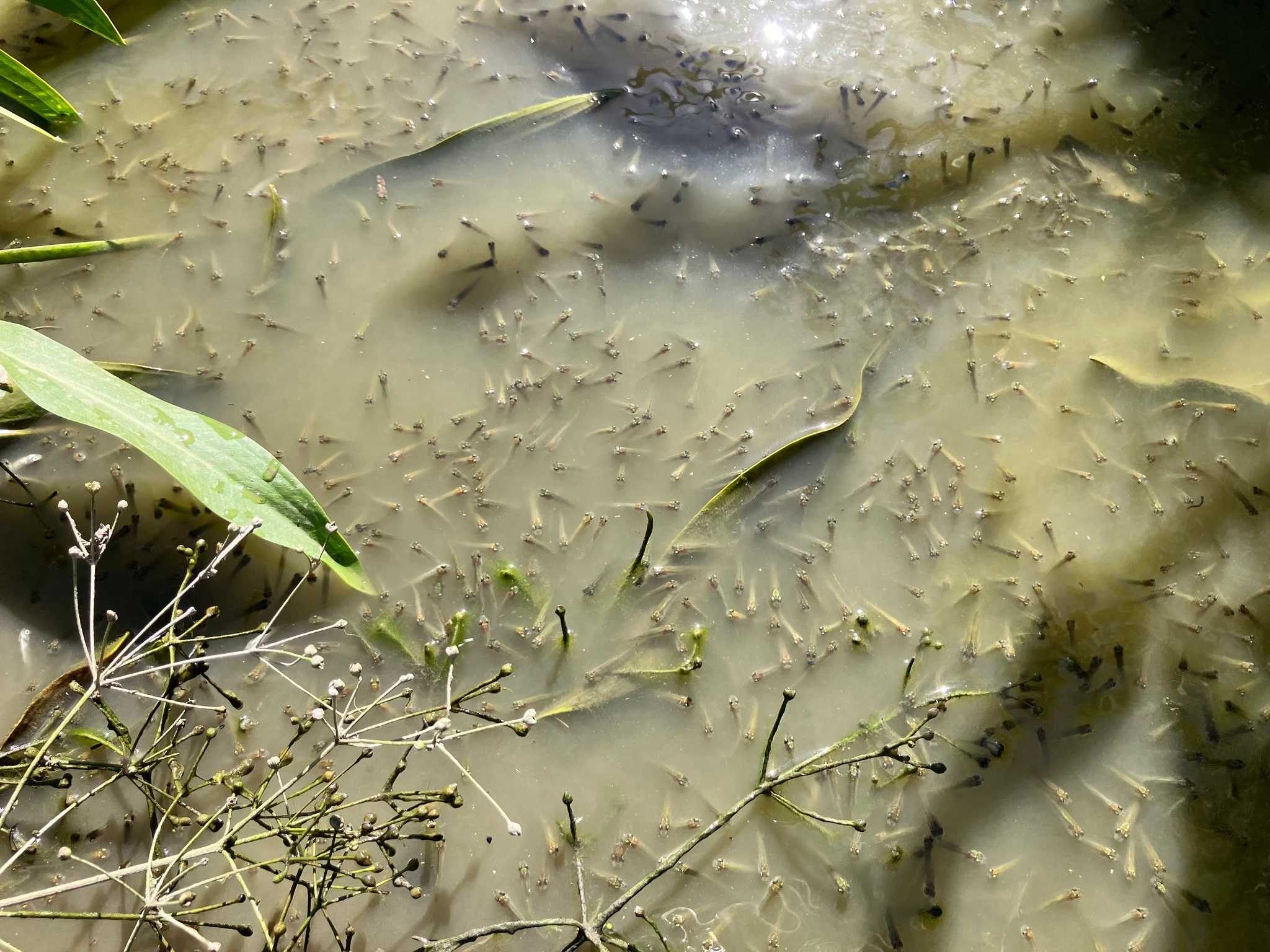
As floodwaters linger, thousands of the endangered Clear Lake Hitch become trapped in stagnant pools on these properties. Then, by late May, when the water evaporates, they die. This cycle repeats year after year, and without action, it will keep happening.
Rerouted Cole Creek
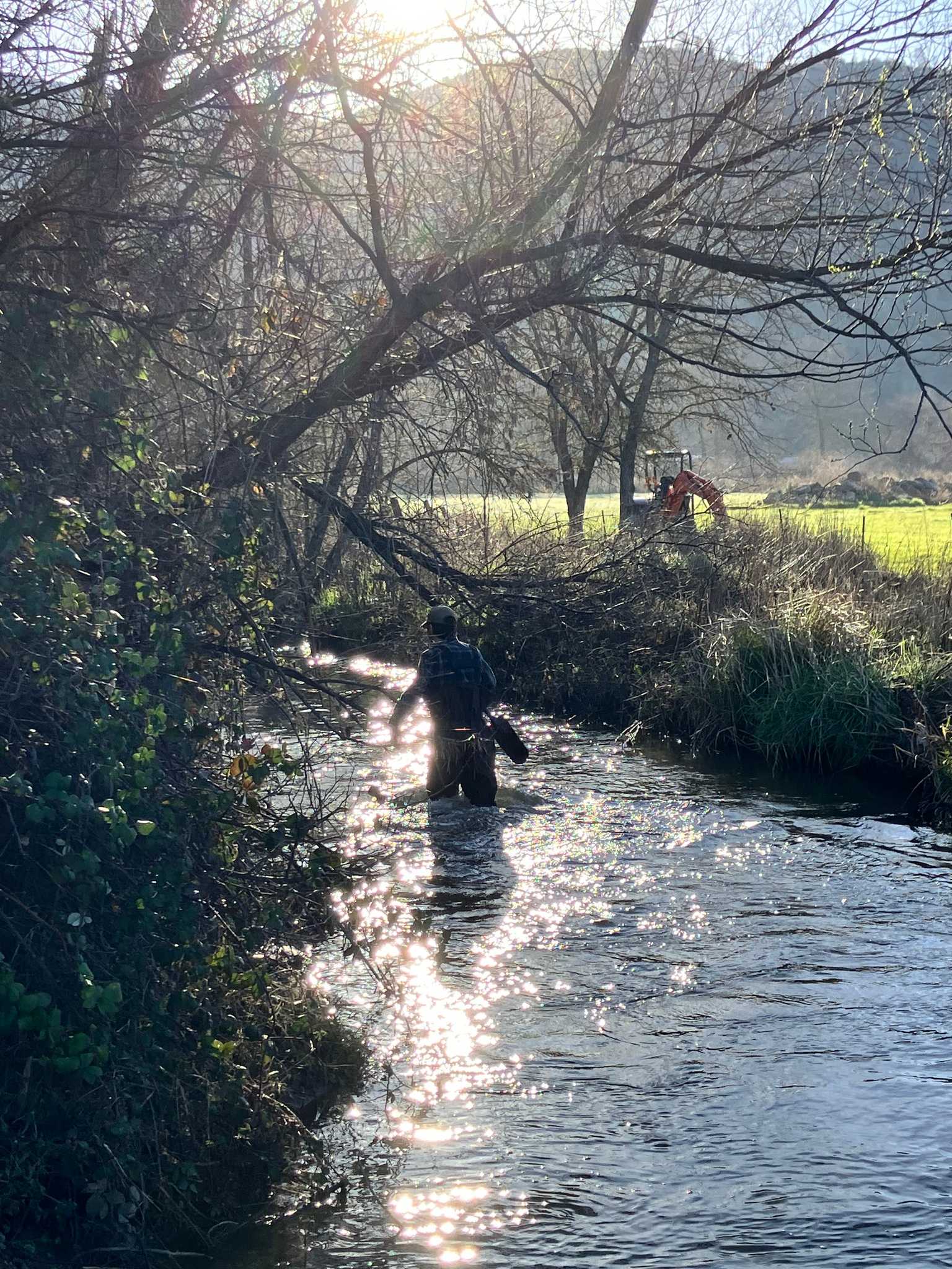
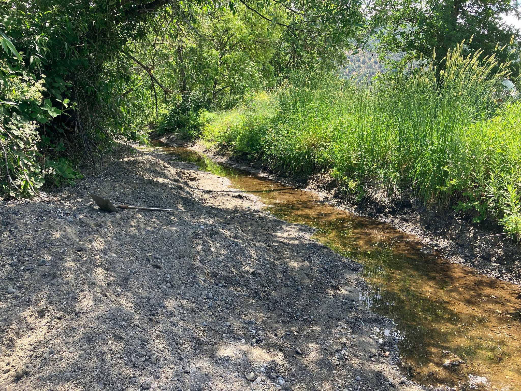
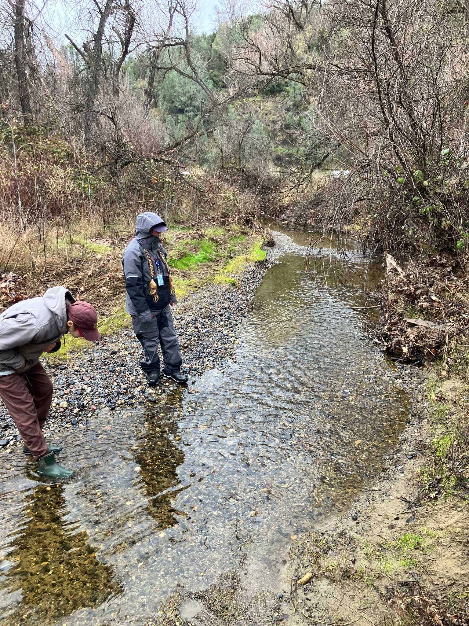
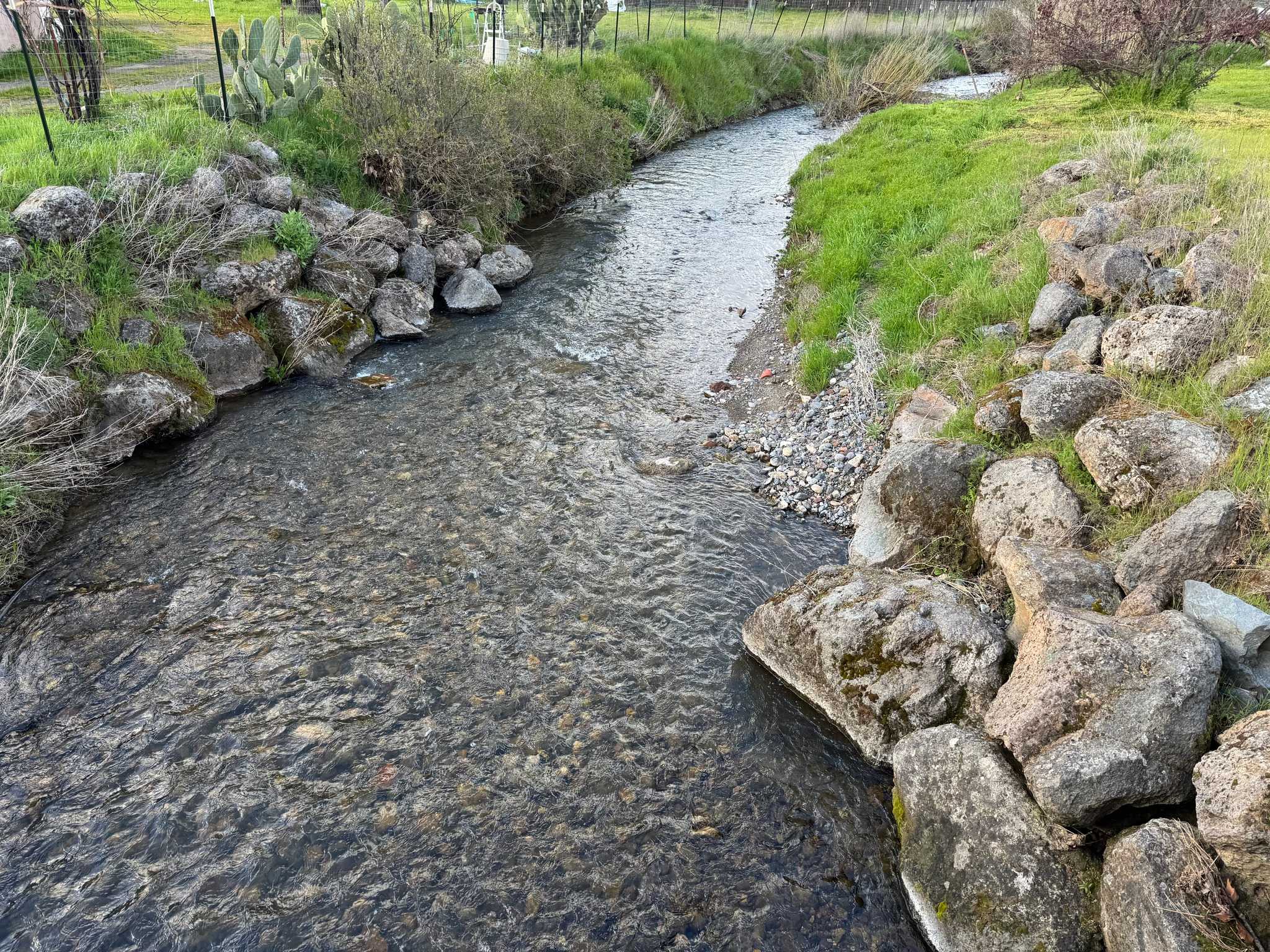
View on mapCole Creek was rerouted and channelized in the late 1950s, likely as a local flood control initiative. The rerouted channel is a straight line that is narrow and has a much steeper slope than the original creek.
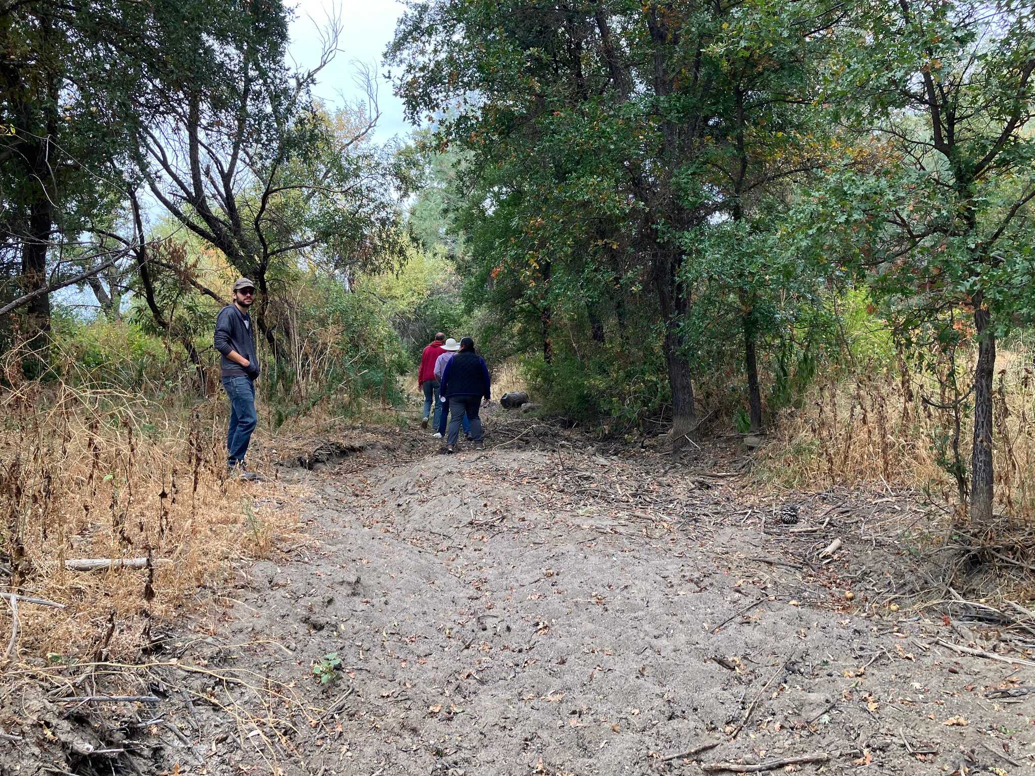
Years of sediment build up have caused the creek bed to be higher than the surrounding land. This combined with the fast flow and the blockage downstream causes the water to breach the creek levee and flood the adjacent properties during heavy rain events, bringing the hitch with it.
External references
Historic Cole Creek
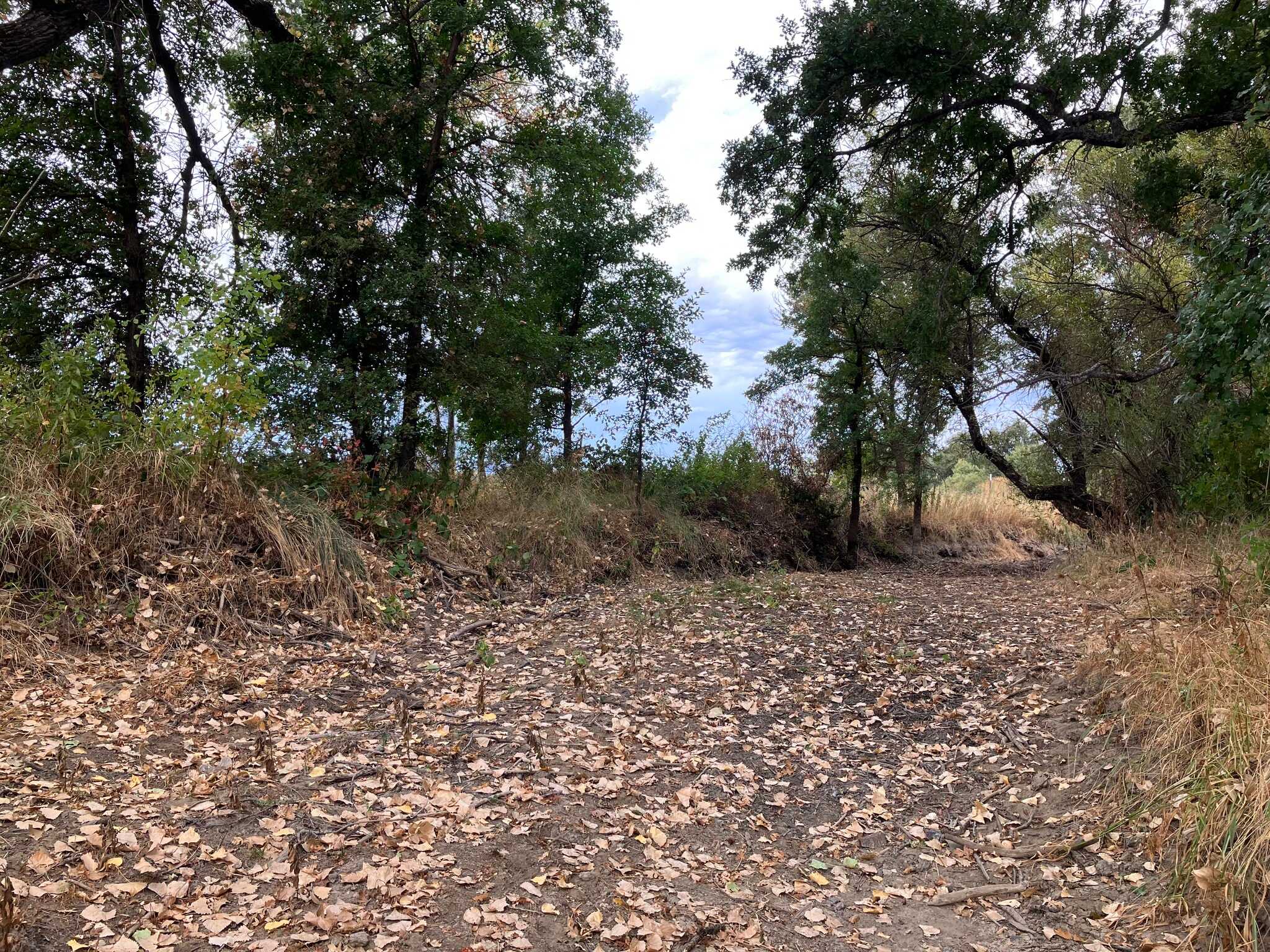
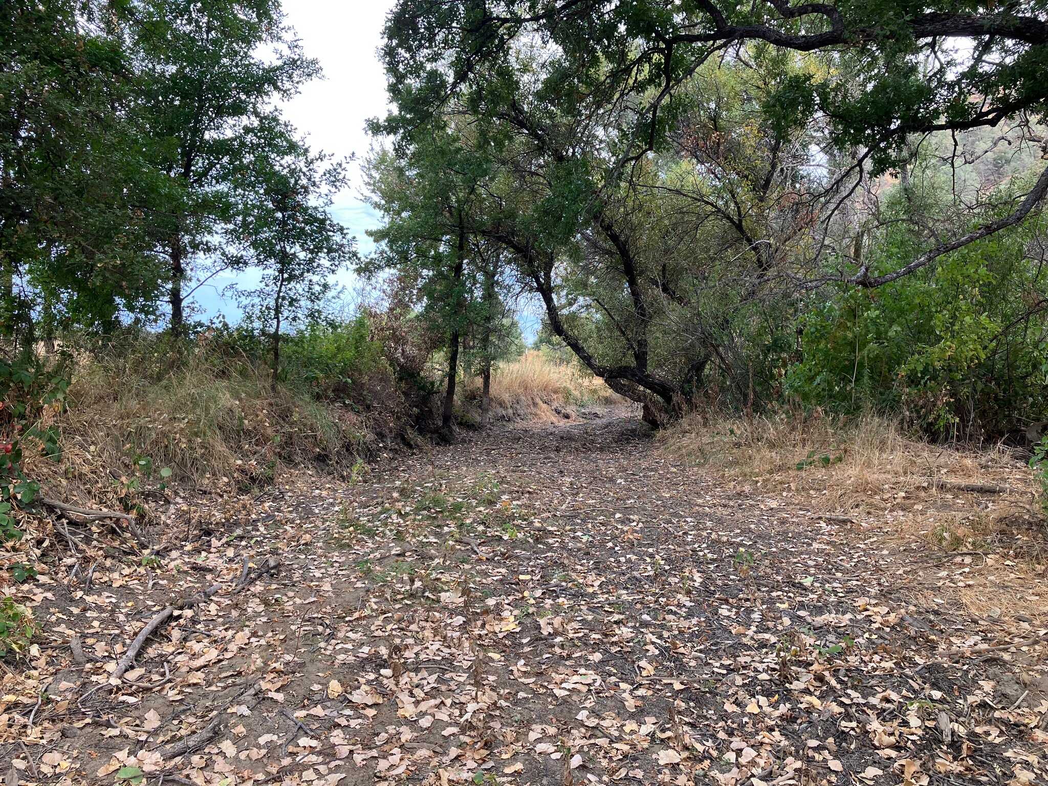
View on mapBefore Cole Creek was rerouted, it meandered through the area along the mountain base.
Fun fact: Many maps, including Google Maps and the USGS, still show the creek following this path. In reality, most of the historic creek bed is no longer visible and level with the surrounding land.
Cole Creek Gage
View on mapA gage by the USGS that measures the water level of Cole Creek upstream of the affected flood area.
