
Origin of the Cole Creek Levee
Background: Flooding in Big Valley and Early Flood Control Efforts
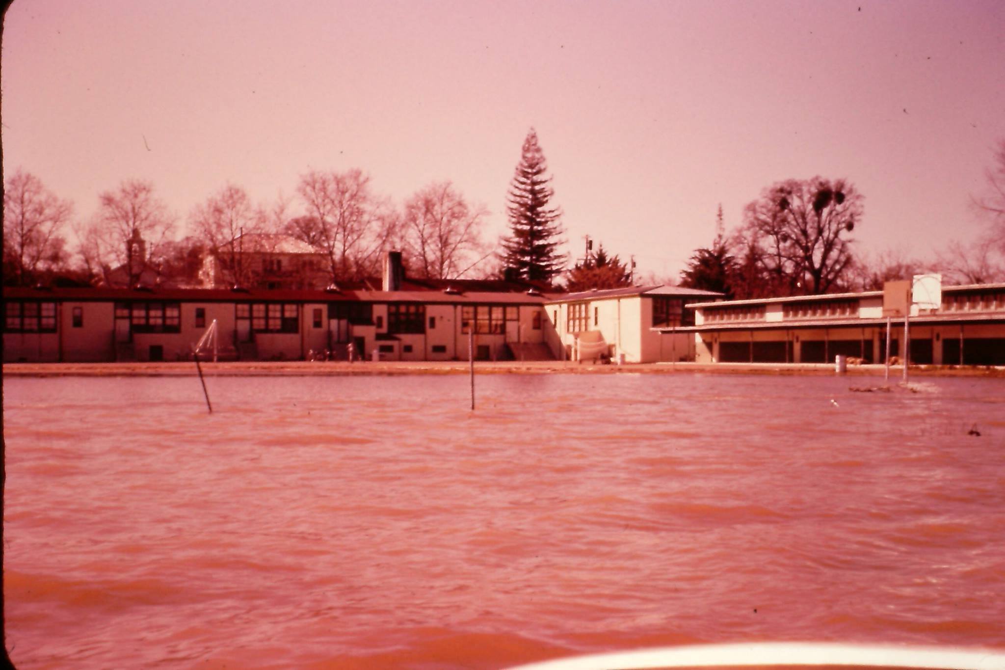
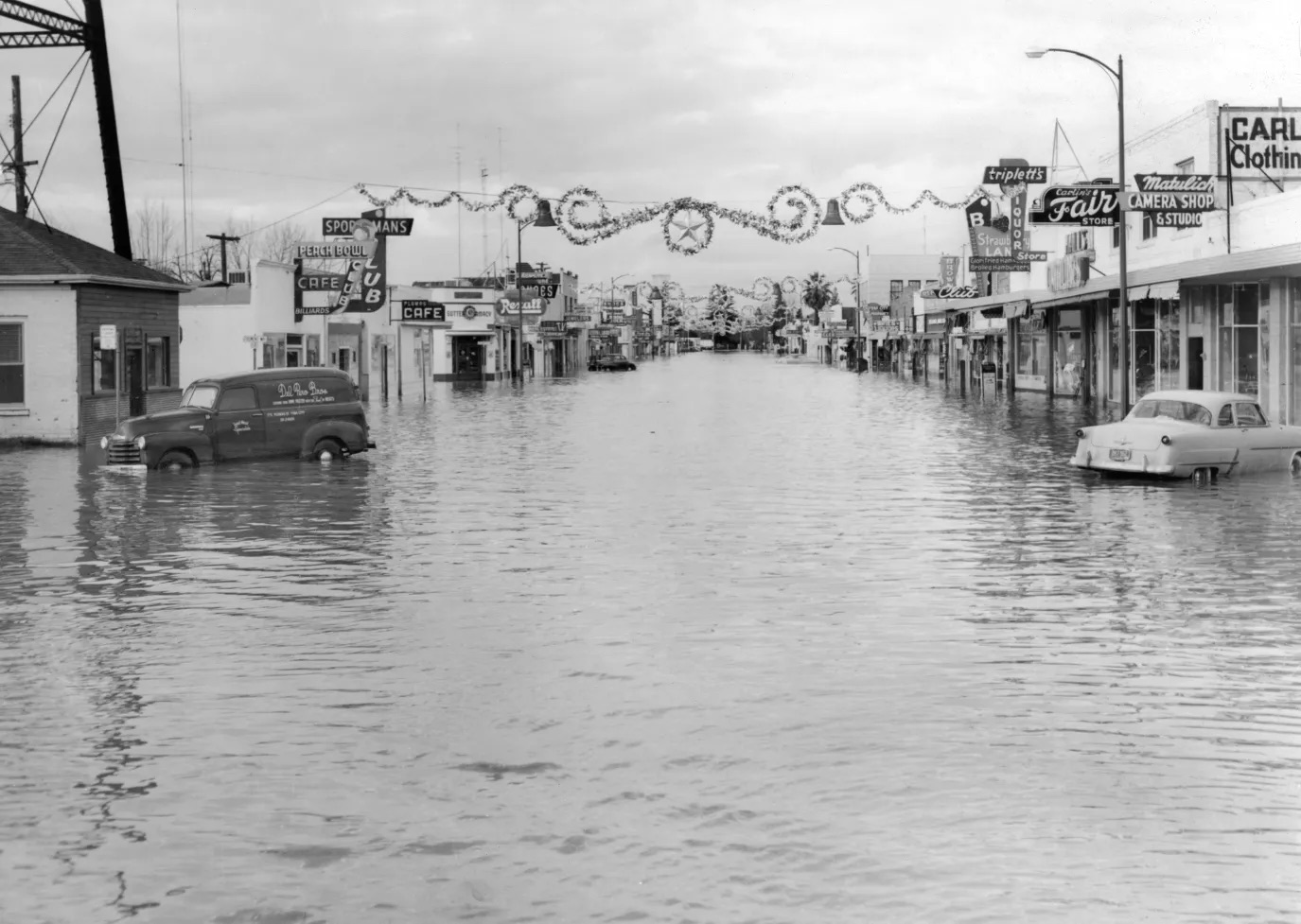
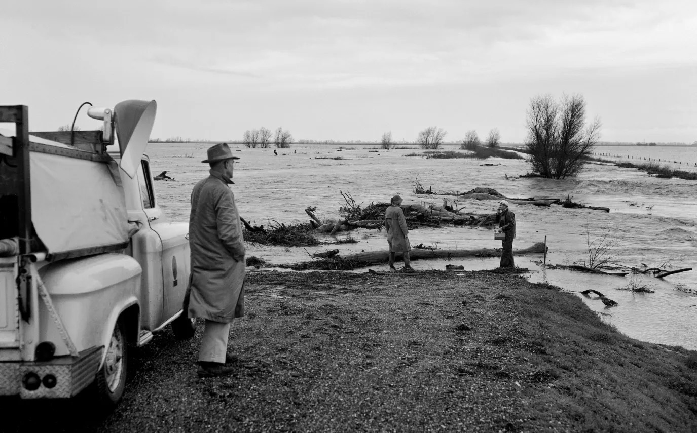
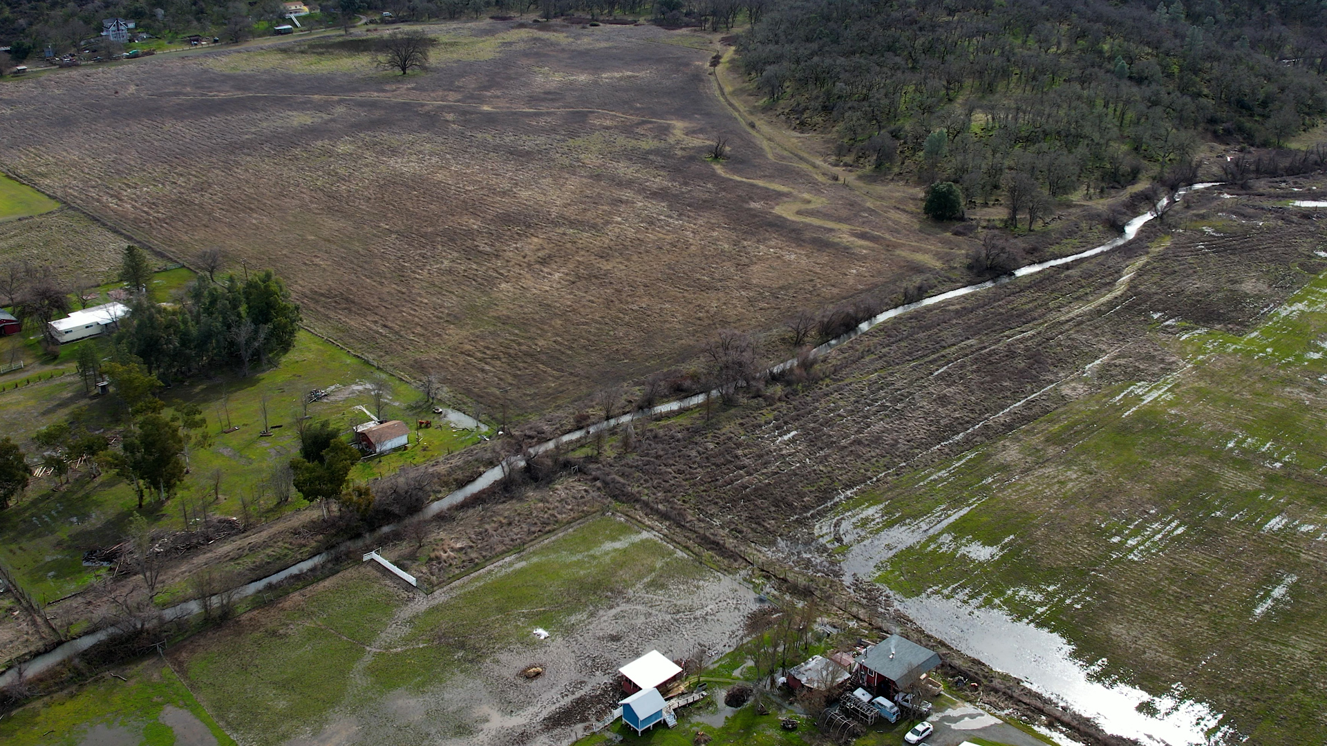
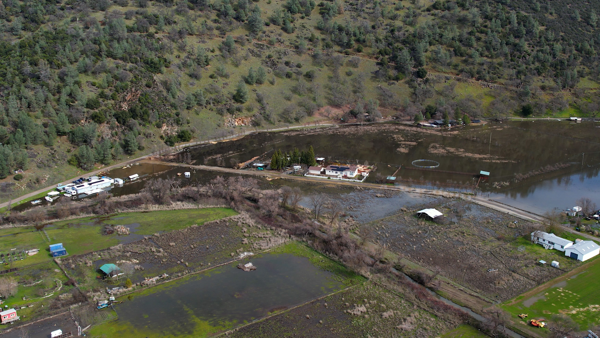
The Big Valley area near Kelseyville (including Green Acres and Soda Bay) has a history of flooding. Tributary streams like Manning, Adobe, Kelsey, and Cole Creeks drain the southern and southwestern shores of Clear Lake, and severe floods in 1955 and 1958 caused significant property damage in Kelseyville, all around Lake County, as well as in neighboring counties.
In response, local authorities sought to reduce flood risk by channelizing and leveeing these creeks in the mid-20th century. Indeed, many Clear Lake tributaries were straightened, deepened, and bounded by levees during the 1950s–1960s as a flood mitigation measure. This trend was not unique to Cole Creek – for example, nearby Kelsey Creek through Kelseyville was substantially modified by the mid-1960s (deepened by ~10 feet, with bank stabilization and straightening) to confine its flow. Formerly, Kelsey Creek had a shallow, braided channel up to 1,500 feet wide that frequently overflowed; the 1960s channelization greatly reduced such flooding around town. These projects, however, also had environmental costs (e.g. loss of riparian habitat and impaired fish passage).
The Cole Creek Levee’s Construction (Circa 1958–1959)
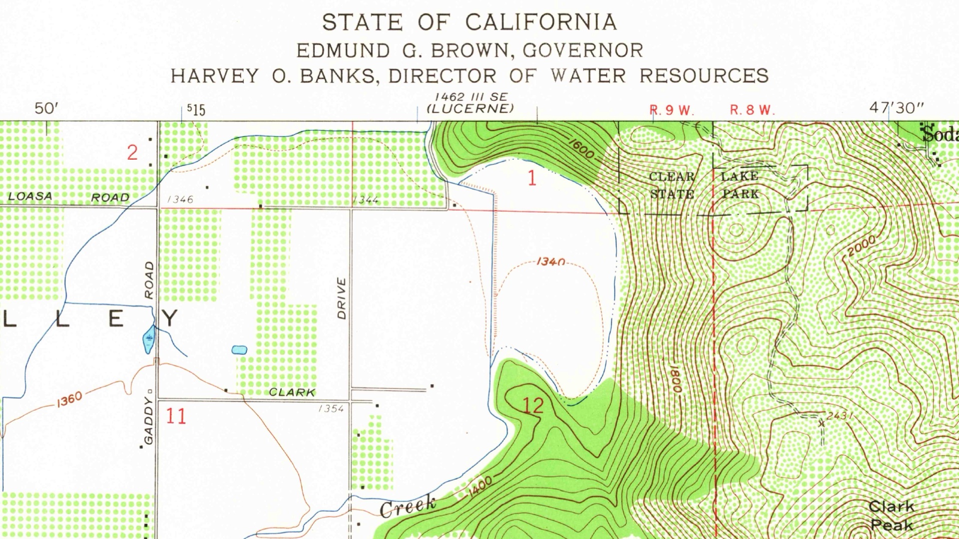
In the specific case of Cole Creek, U.S. Geological Survey maps indicate that the creek’s course in the Green Acres/Soda Bay area was straightened and a levee appeared sometime between 1958 and 1959 (the levee runs along the engineered channel just upstream of the Clark Drive bridge). This timing strongly suggests the levee was built in direct response to the 1955 and 1958 floods.
While detailed construction records have proven elusive, the absence of any federally authorized project for Cole Creek in that era points to a local initiative. The Lake County Flood Control and Water Conservation District, established in the 1950s, was likely the lead agency. Contemporary studies and reports hint at local and state collaboration: for example, a 1970s ecological assessment notes that flood-control channelization of Clear Lake tributaries was carried out to protect farms and homes. A consultant’s report in the late 1960s (by George S. Nolte & Associates) was prepared for the Lake County Flood Control District and the Big Valley Soil Conservation District (with state/federal assistance), indicating that local soil conservation authorities and the State may have been involved in planning improvements in Big Valley. It appears that landowners and local government, possibly with state aid, constructed the Cole Creek levee in the late 1950s to contain the creek’s flow within a fixed channel and thereby shield adjacent properties from frequent inundation.
Sources:
- U.S. Geological Survey – Topographic Map of Kelseyville, CA (1959) – shows straightened Cole Creek channel and levee.
- Lake County Watershed Protection District – Middle Creek Flood Control Project history (Upper Lake levees, built by USACE starting 1958).
- U.S. Army Corps of Engineers, Sacramento District (1974) – Flood Plain Information: Big Valley Streams (Manning, Adobe, Kelsey, and Cole Creeks) – documents channelization and levees on Cole Creek and others as existing flood-control works.
- Clear Lake Hitch (Lavinia exilicauda chi) State Petition (2012) – summarizes mid-century creek modifications: notes a local reclamation levee on Rodman Slough later built up by USACE in 1959, and that other creeks (Scotts, Middle, Clover) were straightened/leveed to protect land (implying Cole Creek’s levee was a similar local effort, since only the Rodman Slough levee is attributed to USACE).
- Lake County Groundwater Management Plan – Big Valley (1999) – describes how Kelsey Creek’s channel was deepened and stabilized in the 1960s to mitigate flooding, reflecting the local flood-control interventions around Kelseyville.
- USACE National Levee Database – Entry for “Lake County Levee 4 (Soda Bay, Cole Creek)” – lists Cole Creek levee (0.46 mi) with Cole Creek as the flood source, but no construction date or federal project info, consistent with a non-federal, locally built levee.
- Historical flood accounts in Big Valley – e.g. Lake County/USGS reports noting flood impacts in 1955, 1958, 1964/65 on Kelseyville streams (context for why the levee was built).